
 Here are the details of maps for Ballymena:

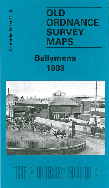
This very detailed map covers much of Ballymena, including the town centre. Coverage stretches from the station eastward to the Braid River, and from the Union Workhouse southward to Harryville Bridge. Note that most of Harryville is off the map.
Features include town centre with houses and other buildings all neatly delineated, The Castle, Braid Water Mills, station including narrow gauge line, Market Place, Fair Green, Town Parks area, Recreation Ground, Court House, Adair Arms Hotel, weaving factory, McClurkanstown, St Patrick's church, Kintullagh House, District Model School, People's Park, cottage hospital etc. A list of private inhabitants from a contemporary directory is included.