We have published more than 2,300 maps in our series of Old Ordnance Survey Map reprints, including a group in County Antrim. The maps are highly detailed. They are taken from the OS 1:2,500 (or 25 inch) maps and reduced to about 15 inches to the mile. Each covers an area of a mile and a half by a mile. They show streets with individual houses, tram tracks, railway tracks and even signals, factories, wharves and such details as fountains and water troughs. They will provide hours of fascination for historians and genealogists. The maps are neatly folded and each includes a specially written introduction to the area. Maps can be purchased on our On-line Mapshop where further information about titles is given. Or visit The Index Page for a full list to the series and details of Prices.
Here are the details of maps for Belfast (Oldpark):
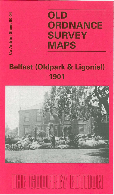
This very detailed map covers what was then a largely rural area of NW Belfast, with coverage extending from St Mark's church Legoniel eastward to Carr's Glen Reservoir, and southward to Lower Lodge Factory and Old Park Brick Works.
Features on the map include Ballysillan House, Everton House, damask manufactory, The Forster Green Home, Glenbank Bleach Works, Belfast Water Works, Ballysillan Presbyterian church, Glenbank House, St Mark's church, Old Park Print Works, football and cricket grounds, Monkeystown, Old Park Post Office etc. On the reverse we include street directory entries for Ligoniel Road, Old Park Avenue and Oldpark Road; plus an extract from a contemporary 6 inch map, giving slightly wider covberage of the Legoniel area.
The map links up with sheets 61.01 Skegoneill to the east, 60.08 Shankill to the south.
Follow this link for other maps for Co Antrim maps together with prices and other details, or here for a complete list of titles for Ireland.
You can order maps direct from our On-line Mapshop. For other information, and other areas, go to The Index Page.
Maps in the Godfrey Edition are taken from the 25 inch to the mile map and reduced to about 15 inches to the mile. For a full list of maps for Ireland, return to the Ireland page.
The Godfrey Edition / godfreyedition@btinternet.com / 23 December 2009