Old Ordnance Survey Maps of Buckinghamshire

  • These detailed maps normally cover an area of about one and a half miles by one mile. Each map includes an introduction.
  • They are available through our On-line Mapshop

  • Here are the details of maps for Beaconsfield:

  • Buckinghamshire 47.08 Beaconsfield (West) 1923 - published 2022; intro by Tony Painter. ISBN.978-1-78721-583-2
  • Buckinghamshire 48.09 Beaconsfield (East) 1923 - published 2022; intro by Tony Painter. ISBN.978-1-78721-574-0

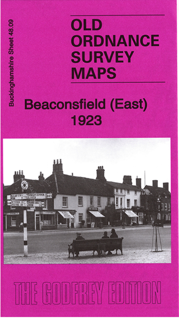
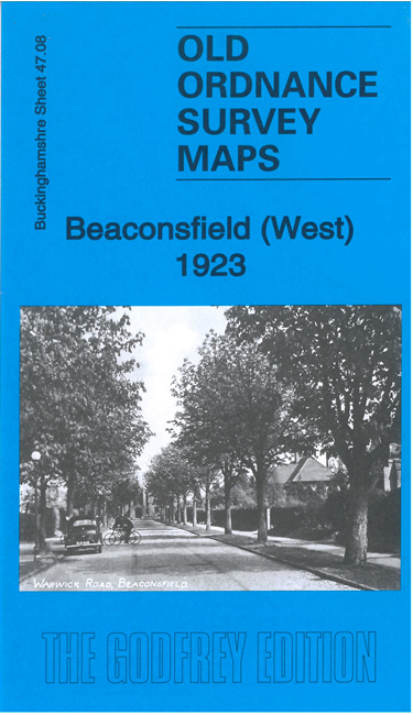
    We have published a pair of maps for Beaconsfield. They link up with each other and are double-sided for maximum coverage.

    The West map includes the railway station and much of the early 20th century development, with many detached houses. Other features include Oakdne School, The Oval, St Michael & All Angels church, Forty Green, etc

    The East map includes the 'old' town. Features include All Saints church, Hall Barn, Market Place and town centre, Malthouse Square, Hyde Farm, The Studio, Wilton Park etc.

    Each map a specially written introduction to the history of the area by Tony Painter.


  • Follow this link for a complete list of our Buckinghamshire or Milton Keynes maps. For other information and prices, and other areas, go to The Index Page.
  • Most maps in the Godfrey Edition are taken from the 25 inch to the mile map and reduced to about 15 inches to the mile. For a full list of maps for the Buckinghamshire region, return to the Thames & Chilterns page
    The Godfrey Edition / sales@alangodfreymaps.co.uk / 13 Dec 2022