
 Here are the details of maps for Staines:

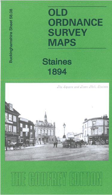
Staines, which is now in Surrey, was originally in Middlesex. However, the sheetlines are most convenient in the Buckinghamshire series and so we have used that. The map does include the Hythe End portion of Buckinghamshire.
The map gives good coverage of Staines. Features include Staines GWR station, LSWR High Street station, junctions, Knowle Green Brewery, Staines Linoleum Works, town centre with individual buildings shown, Pound Mill, Staines Brewery, Staines Bridge, Hythe, Hammonds Farm, Swan Hotel, Duncroft, St Mary's church, Church Lammas, Staines & Egham gasworks, Glanty, Pooley Green, Anglers Rest, Hythe End Mills, Hythe End, River Thames etc
On the reverse is a specially written introduction to the history of the area together with extracts from an 1890 directory of Staines.
The map links up with Surrey sheet 5.09 Egham.