 Here are the details of maps for Aberaeron or Aberayron

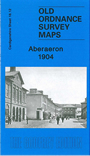
This detailed map covers the small Cardiganshire of Aberaeron (or Aberayron) which in 1904 was in the twilight years of its prosperity as a port. The town spans the parishes of Llandewi Aberarth Lower and Henfynyw Lower. The town is shown here in detail, including individual houses, and features include the Workhouse, breakwaters, Pant-teg, Pen y Gloyn, quarries, Goetre etc. On the reverse we include a 1906 directory of the town.