
Old Ordnance Survey Maps of Stockport
These detailed maps normally cover an area of about one and a half miles by one mile. Each map includes an introduction.
They are available through our On-line Mapshop
 Here are the details of maps for High Lane (North):
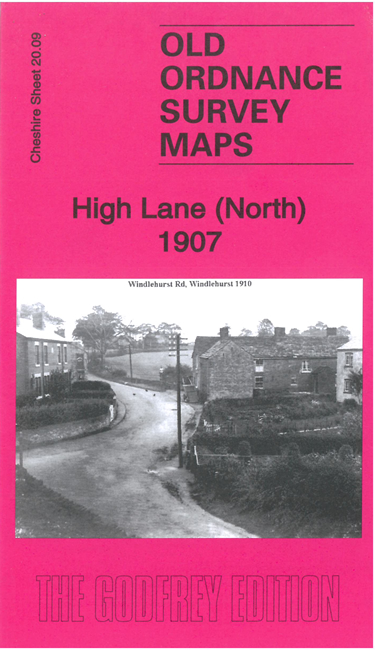
Cheshire Sheet 20.09 High Lane (North) 1907 - published 2022; intro by Chris Makepeace. ISBN.978-1-78721-584-9 
This detailed map covers the largely rural area north west of Disley and south east of Hazel Grove. Three railways cross the map,
which includes Highlane station, Hazel Grove station (in top left corner) and part of Middlewood station (foot of map).
Part of the villages of High Lane and Windlehurst are shown, together with a stretch of the Middlewood Canal.
The map links up with sheet 20.10 Disley North to the east and 20.13 Poynton East to the south.
Follow this link for a complete list of our Stockport area maps.
You can order maps direct from our On-line Mapshop.
For other information and prices, and other areas, go to The Index Page.
Maps in the Godfrey Edition are taken from the 25 inch to the mile map and reduced to about 15 inches to the mile.
For a full list of maps for the North West, return to the North West page.
The Godfrey Edition / sales@alangodfreymaps.co.uk / 18 October 2022
 Here are the details of maps for High Lane (North):