We have published more than 2,400 maps in our series of Old Ordnance Survey Map reprints, including a range of titles in Kent. The maps are highly detailed. They are taken from the OS 1:2,500 (or 25 inch) maps and reduced to about 15 inches to the mile. Each covers an area of a mile and a half by a mile. They show streets with individual houses, tram tracks, railway tracks and even signals, factories, wharves and such details as fountains and water troughs. They will provide hours of fascination for historians and genealogists. The maps are neatly folded and each includes a specially written introduction to the area. Maps can be purchased on our On-line Mapshop where further information about titles is given. Or visit The Index Page for a full list to the series and details of Prices.
Here are the details of maps for Chatham:
This very busy and detailed map covers an area from Eastgate House in Rochester eastward to part of the Royal Naval Hospital in Gillingham. It therefore covers most of Chatham town and also part of Rochester (though not as far west as the cathedral). Features include High Street, Eastgate; Chatham, Rochester, Chatham Central stations; New Road, New Avenue, Church Hill, Brook, Royal Marine Barracks, Chatham Barracks, Garrison church, Town Hall Gardens, Southill Barracks, Ordnance Terrace (once home to Dickens), Chatham Hill, Ordnance Place, Pattens Lane, tramways, Troy Town, Chatham Intra, Chatham Ness, Sun Pier, numerous wharves and piers alomng the Medway. A few sites are left blank for security reasons (eg Fort Amherst) but there is bags of interest on the map. Dickens referred to Chatham as Dullborough; this map is anything but!
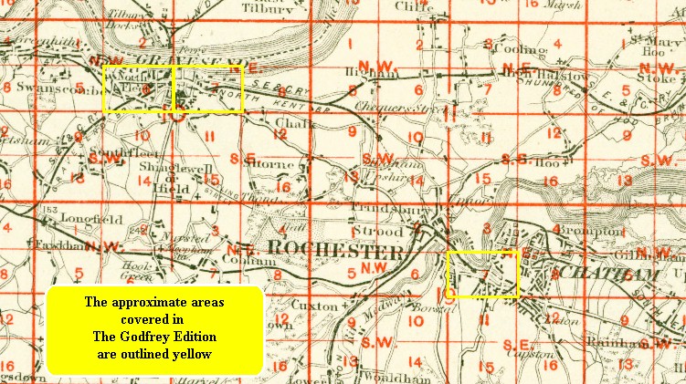
You might find this index map useful.
Follow this link for a complete list of our London Series maps or this for a list of the Kent Series maps.
A small scale Inch to the Mile map is also available giving a wider picture of the area.
You can order maps direct from our On-line Mapshop.
For other information and prices, go to The Index Page.
Maps in the Godfrey Edition are taken from the 25 inch to the mile map and reduced to about 15 inches to the mile.
For a full list of maps for Kent, return to the South East page