Derbyshire Sheet 5.16 Hayfield 1919 - published 1998; intro by Derek Brumhead. ISBN.978-1-84151-025-5 
This detailed map covers the north Derbyshire village of Hayfield, with some rural coverage southward to Ollersett.
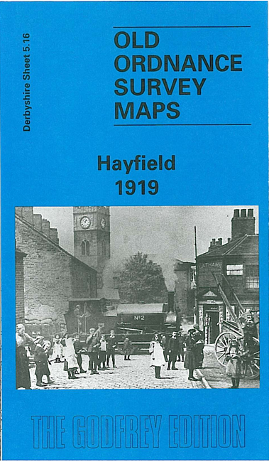
Features include railway with station, Hayfield village, Print Works, Birch Quarry, Swallowhouse Mills, St Matthew's church, Jumble, Rockhall, Kinder Row, Bowden Bridge. On the reverse we include directories for Hayfield in 1904 and 1916, together with a timetable for the Hayfield branch in 1922.
The map links up with Derbyshire sheets 5.15 Birch Vale to the west.
Follow this link for a list of our maps for Derbyshire.
You can order maps direct from our On-line Mapshop.
For other information and prices, and other areas, go to The Index Page.
Maps in the Godfrey Edition are taken from the 25 inch to the mile map and reduced to about 15 inches to the mile.
For a full list of maps for England, return to the England page.
Alan Godfrey Maps, Prospect Business Park, Leadgate, Consett, Co Durham, DH8 7PW / sales@alangodfreymaps.co.uk / 25 November 2016

 Here are the details of maps for Hayfield: