

 Here are the details of maps for Swadlincote and Church Gresley:

These three maps link up with each other to provide excellent, detailed coverage of Swadlincote.
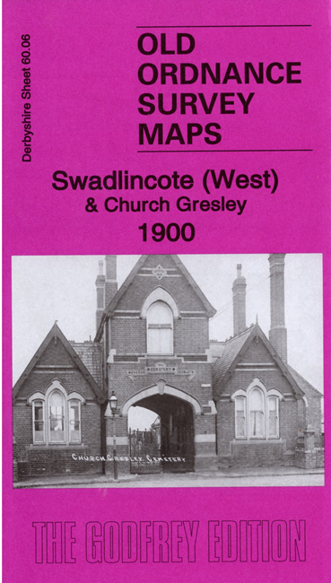
Sheet 60.06 covers the west of the town, from the Market Place westward, and also includes the northern part of Church Gresley. Features include Market Place, Potteries, Midland Railway Swadlincote Branch with Swadlincote station, Swadlincote Old Colliery, Hearthcote Farm, Trent tile works, Brick & Pipe Works, old coal shafts, Church Gresley cemetery, Cadley Hill Colliery, Far Leys Farm, Stanton Colliery and Pipe Works, industrial tramway, etc.
Sheet 60.07 covers the east of the town, together with Woodville, once known as 'Wooden Box'. Features include eastern part of town centre, Emmanuel church, Granville House, sanitary pipe works, Granville Colliery, Hill Top Works, Potteries, Gresley Common, Church Gresley Potteries, flint mill, Encaustic Tile Works, clay pits, Midland Railway Woodville Branch with Goods Station (formerly branch terminus), Swadlincote & Woodville Extension with Woodville station, Bretby Art Pottery, Excelsior Pottery, Sharpswood Farm, Woodville, St Stephen's church, Boothorpe Works, Mount Pleasant Works, several mineral lines and tramways, etc.
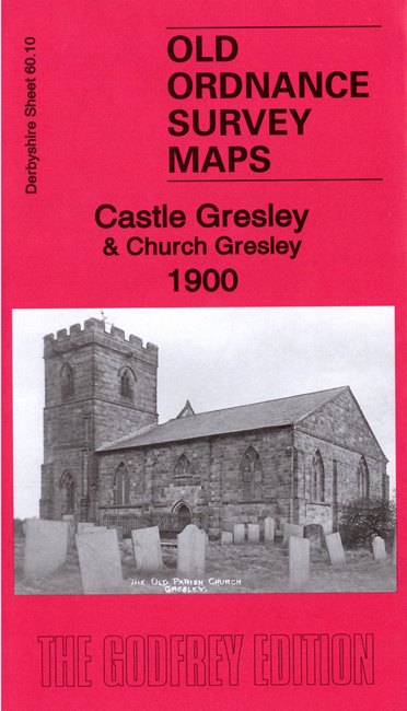
Sheet 60.10 takes coverage further south,covering part of Church Gresley, including Church Gresley Colliery, St Mary & St George's church, Midland Railway Woodville Branch, Swainspark Wood, Gresley Park Farm. It extends westward to include Mount Pleasant, High Cross Bank, Midland Railway Leicester & Burton Branch, Gresley station, and part of Castle Gresley including Castle Hill.
Each map includes a specially written introduction by Barrie Trinder, together with extracts from contemporary trade directories.