Old Ordnance Survey Maps of Edinburgh
These are the maps we publish for Edinburgh and Midlothian. Each map includes an introduction.
They are available through our On-line Mapshop
The County of Edinburgh was renamed Midlothian in 1921. In 1975 it was divided into 2 Districts and in 1996 these
became 2 unitary councils, City of Edinburgh and Midlothian.
See This Page for a summary of the county's local government history.
These maps are all taken from the OS 25" maps and reduced to a scale of approximately 15 inches to the mile.
The following was transferred to City of Edinburgh District in 1975:
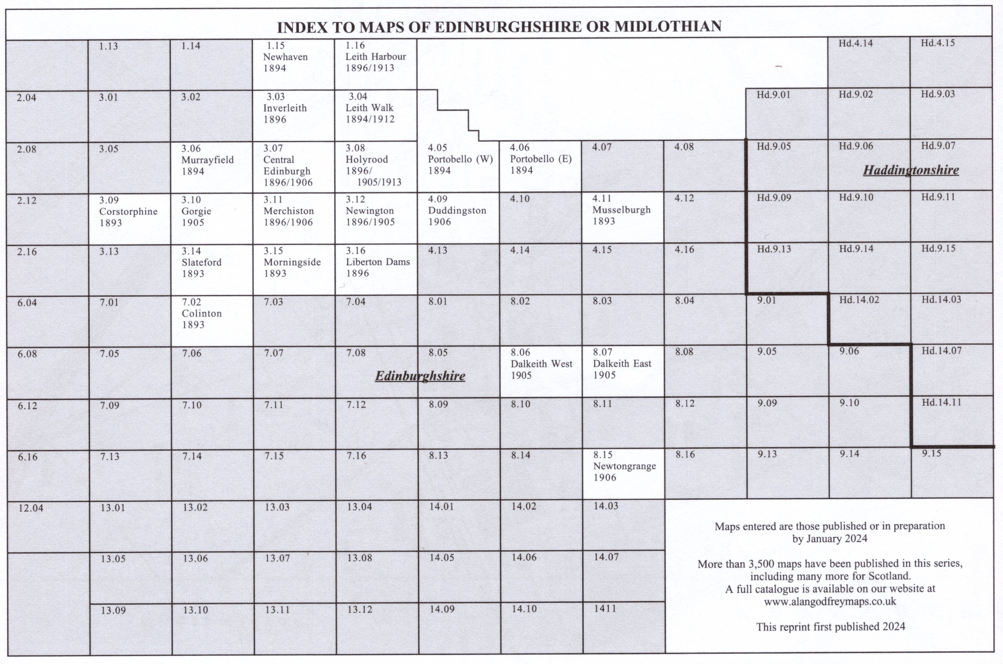
You might find this index map useful.
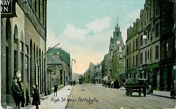
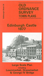
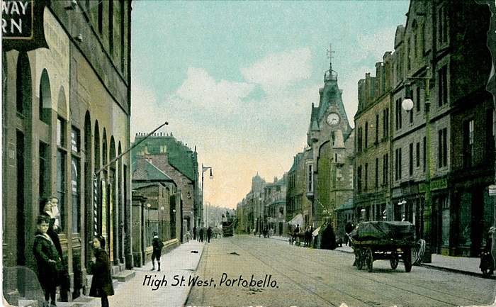
Edinburgh Large Scale Plans: The following maps are taken from the still larger scale 5' or 1:1,056 town plans and reduced
down to a scale of a yard to the mile. They cover quite small areas, but show them in wonderful detail, even
including the interiors of some public buildings.
 Most maps in the Godfrey Edition are taken from the 25 inch to the mile map and reduced to about 15 inches to the mile.
For a full list of maps for Scotland, return to the Scotland page
You can order maps direct from our On-line Mapshop.
This list shows all our maps for the county. We try to keep a full range in print but inevitably some titles fall out of print from time to time.
These are noted in our On-line Mapshop.
Most maps in the Godfrey Edition are taken from the 25 inch to the mile map and reduced to about 15 inches to the mile.
For a full list of maps for Scotland, return to the Scotland page
You can order maps direct from our On-line Mapshop.
This list shows all our maps for the county. We try to keep a full range in print but inevitably some titles fall out of print from time to time.
These are noted in our On-line Mapshop.
Alan Godfrey Maps, Prospect Business Park, Leadgate, Consett, DH8 7PW. Tel 01207 583388
The Godfrey Edition / sales@alangodfreymaps.co.uk / 17 April 2024