
 Here are the details of maps for Euston:

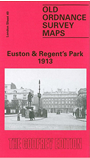
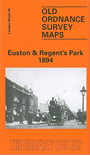
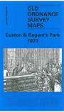
We have published three versions of this map, showing how the area developed across the years. The maps each cover the same area, stretching from Baker Street station eastward to Tavistock Square; and from The Zoo southward to Fitzroy Square. The maps therefore cover a fascinating area, including most of Regent's Park, Euston station and its approaches, Somers Town goods station and the St Pancras railway approaches, part of north Bloomsbury, and the area around University College Hospital. Other features include Royal Botanic Gardens, Regents Canal and Regents Park Basin, Cumberland Market, Regents Park Barracks, The Zoo, Albany Street, Clarendon Square, St Pancras Workhouse, St Pancras church, and countless streets. Various street directory extracts are given on the reverse; the 1894 map also has a Plan of the Zoo.
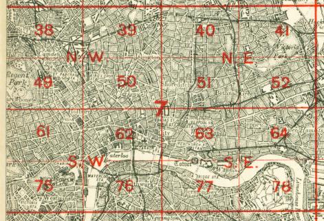
The map links up with London Sheets 38 Kentish Town to the north, 48 St Johns Wood to the west, 50 Clerkenwell to the east, 61 West End to the south.
 Follow this link for a complete list of our London maps .