 Here are the details of maps for Methil:

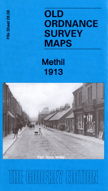
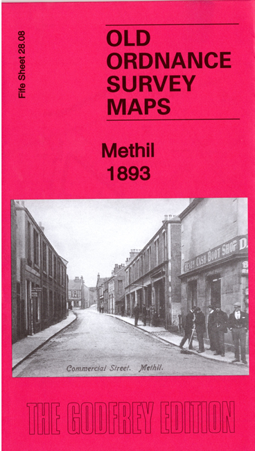
We have published two versions of this map, to show how Methil changed across the years.
Both maps are double-sided for maximum coverage. The main map covers the town of Methil, its docks and harbour, Leven Colliery, Denbeath (later Wellesley) Colliery, Wemyss & Buckhaven Railway to Methil station, other railways and mineral lines, Methilhill, part of Innerleven, Buckhaven Links. The 1913 map shows how greatly the town developed over those 20 years, now with additional railway lines, two more docks, a tramway, football ground, and the development of Wellesley Road.
On the reverse of each map is a section of adjacent sheet 28.07 to the west, showing Pirnie Colliery. Each map includes a specially written introduction to the history of the area.
The map links up with sheet 28.04 Leven to the north and 28.11 Buckhaven to the south