Old Ordnance Survey Maps of Flintshire

  • These detailed maps normally cover an area of about one and a half miles by one mile. Each map includes an introduction.
  • They are available through our On-line Mapshop

  • Here are the details of maps for Rhuddlan:

  • Flintshire Sheet 4.07 Rhuddlan 1911 - published 2022; intro by Alan Godfrey. ISBN.978-1-78721-581-8

    This detailed map of Rhuddlan is double-sided for maximum coverage.

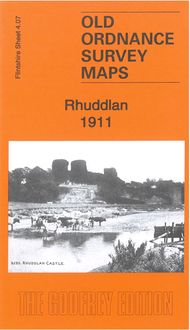
    The main map gives good coverage of the town. Features include Rhuddlan Castle, Twt Hill, St Mary's church, town centre with individual buildings neatly shown, railway station, Phoenix Foundry, Rhuddlan Bridge, River Clwyd, Plas-newydd, Spital, Criccin, etc

    On the reverse we include part of adjacent sheet 4.11 extending coverage southward to include Pengwern.


  • Follow this link for a complete list of our Flintshire maps. For other information and prices, and other areas, go to The Index Page.
  • Maps in the Godfrey Edition are taken from the 25 inch to the mile map and reduced to about 15 inches to the mile. For a full list of maps for Wales, return to the Wales page.
    The Godfrey Edition / sales@alangodfreymaps.co.uk / 28 Nov 2022