Old Ordnance Survey Maps of Glamorgan

  • These detailed maps normally cover an area of about one and a half miles by one mile. Each map includes an introduction.
  • They are available through our On-line Mapshop

  • Here are the details of maps for Skewen and Neath Abbey:

  • Glamorgan Sheet 15.12 Neath Abbey & Skewen 1940 - published 2023; intro by Steph Mastoris. ISBN.978-1-78721-659-4

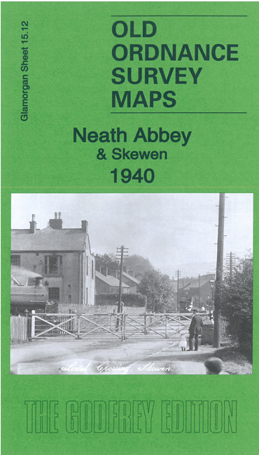
    This very detailed map covers the villages of Neath Abbey and Skewen.

    Features include GWR railway with Skewen station, Moore Town, Greyhound track, All Saints church, Darran Wood, Main Colliery, Skewen village, Vale of Neath railway, St John's church, Longford Court, Glynfelin, bus depot, Neath Abbey, Court Herbert etc


  • The map links up with sheets 16.09 Neath to the east.
  • Follow this link for a complete list of our Glamorgan maps. For other information and prices, and other areas, go to The Index Page.
  • Maps in the Godfrey Edition are taken from the 25 inch to the mile map and reduced to about 15 inches to the mile. For a full list of maps for Wales, return to the Wales page.
    The Godfrey Edition / sales@alangodfreymaps.co.uk / 31 May 2023