Old Ordnance Survey Maps of Glamorgan

  • These detailed maps normally cover an area of about one and a half miles by one mile. Each map includes an introduction.
  • They are available through our On-line Mapshop

  • Here are the details of maps for south Neath:

  • Glamorgan Sheet 16.13 Neath (South) 1936 - published 2022; intro by Steph Mastoris. ISBN.978-1-78721-591-7

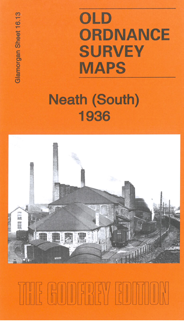
    This very detailed map covers the southern part of Neath with coverage stretching from King Street and Wellfield Square southward to Cupola Wood.

    Features include portions of the Neath Canal and GWR railway; Penrhiwtyn Infirmary, Pencaerau, Melin Crythan, Cimla, tuberculosis hospital, Cimla Common, St Joseph's RC Church, Mount Pleasant area with numerous streets of housing, Eaglesbush Tin Plate Works, other steel and tin plate works, Japan Works, railway sidings, Eaglesbush Foundry, etc.


  • The map links up with sheet 16.09 Neath to the north.
  • Follow this link for a complete list of our Glamorgan maps. For other information and prices, and other areas, go to The Index Page.
  • Maps in the Godfrey Edition are taken from the 25 inch to the mile map and reduced to about 15 inches to the mile. For a full list of maps for Wales, return to the Wales page.
    The Godfrey Edition / sales@alangodfreymaps.co.uk / 28 Nov 2022