
 Here are the details of maps for Eastleigh:

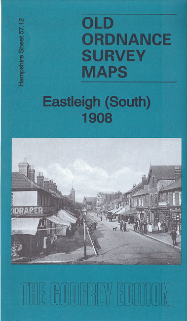
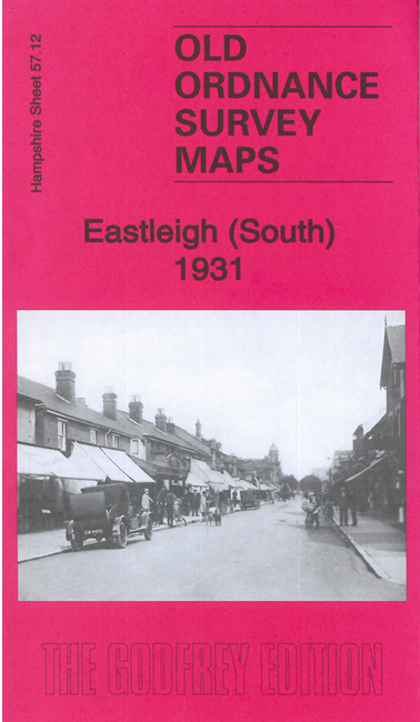
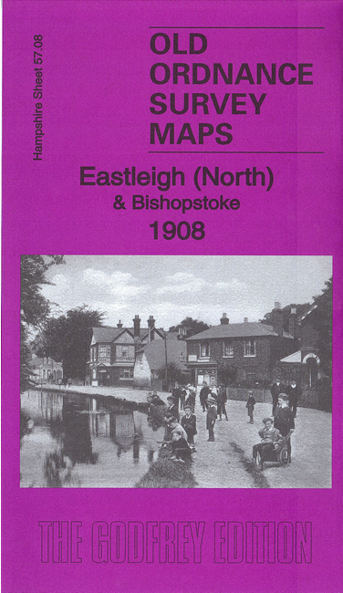
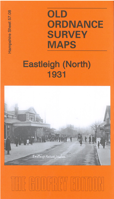
We have published two maps for Eastleigh and each is available for two different dates, showing how the area changed across the years. They link up with each other to provide excellent coverage of the town..
Sheet 57.08 covers the north of the town together with Barton and most of Bishopstoke. Features include Church of the Resurrection, northern part of station, The Park, St Mary's Home, Council Offices, New Town area, Woodside Farm, Freelands Farm, LSWR Institute, Leigh Road, section of Salisbury line and railway approaches, Barton Mill, Barton Farm, St Mary's church Bishopstoke (disused), Manor House, St Agnes, Itchen Navigation, Stoke Lock, Spring Grove, etc.
Sheet 57.12 covers the south of the town and a large expanse of the locomotive and carriage works. Features include the southern part of the station, Running Shed, Great Eastleigh Farm, network of streets (some half built), Chicken Hall Farm, Itchen Navigation, Conegar Lock, Fish House Bay, etc.
Each map includes a specially written introduction to the history of the area.