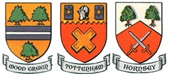
Old Ordnance Survey Maps of Haringey
We have very good coverage for the London Borough of Haringey, which was formed in 1965 from the Middlesex Municipal Boroughs of Hornsey, Tottenham and Wood Green.
The following titles are all taken from the OS 25" maps and reduced to a scale of approximately 14 inches to the mile.
They are extremely detailed, showing individual houses, details such as railway tracks, pathways,
pubs, factories and even minutiae such as fountains and signal posts. Each covers an area of a mile and
a half by one mile, and includes an introduction. All maps
are available from our On-line Mapshop.
 These are the detailed maps for Haringey in our London series:
06.2 Alexandra Park & South Friern 1894 - published 1989; intro by Pamela Taylor
06.3 Alexandra Park & South Friern 1911 - published 2014; intro by Pamela Taylor
06.4 Alexandra Park & South Friern 1935 - published 2015; intro by Alan Godfrey
07.2 Wood Green 1894 - published 1993; intro by David Mander
07.3 Wood Green 1912 - published 1993; intro by Alan Godfrey
07.4 Wood Green 1935 - published 2015; intro by Pamela Taylor
08.2 Tottenham (North) 1894 - published 1997; intro by Alan Godfrey
08.4 Tottenham (North) 1936 - published 2015; intro by Pamela Taylor
09.2 Tottenham Marsh 1894 - published 1999; intro by Alan Godfrey
09.4 Tottenham Marsh & SW Walthamstow 1935 - published 2023; intro by Pamela Taylor
11.2 Muswell Hill 1894 - published 1985; intro by Ian Murray
11.3 Muswell Hill 1913 - published 2013; intro by Pamela Taylor
11.4 Muswell Hill 1935 - published 2014; intro by Alan Godfrey
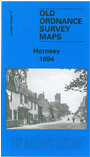
12.2 Hornsey 1894 - published 2005; intro by Alan A Jackson
12.3 Hornsey 1912 - published 1990; intro by David Mander
12.4 Hornsey & Green Lanes 1935 - published 2015; intro by Pamela Taylor
13.2 Tottenham 1894 - published 1983; intro by Ian Murray
13.4 Tottenham 1936 - published 2005; intro by Alan A Jackson
19.1 Highgate 1869 - published 2003; intro by Pamela Taylor
19.2 Highgate 1894 - published 1996; intro by Pamela Taylor
19.3 Highgate 1913 - published 1995; intro by Pamela Taylor
19.4 Highgate 1936 - published 2019; intro by Pamela Taylor
20.1 Finsbury Park & Stroud Green 1870 - published 2009; intro by Alan Godfrey
20.2 Finsbury Park & Stroud Green 1894 - published 1996; intro by David Mander
20.3 Finsbury Park & Stroud Green 1912 - published 1993; intro by Ian Murray
20.4 Finsbury Park & Stroud Green 1936 - published 2019; intro by Pamela Taylor
21.1 Stamford Hill 1868 - published 1985; intro by David Pracy.
21.2 Stamford Hill 1894 - published 1984; intro by Jon Newman.
21.3 Stamford Hill 1913 - published 1990; intro by David Pracy.
21.4 Stamford Hill 1937 - published 2020; intro by Pamela Taylor
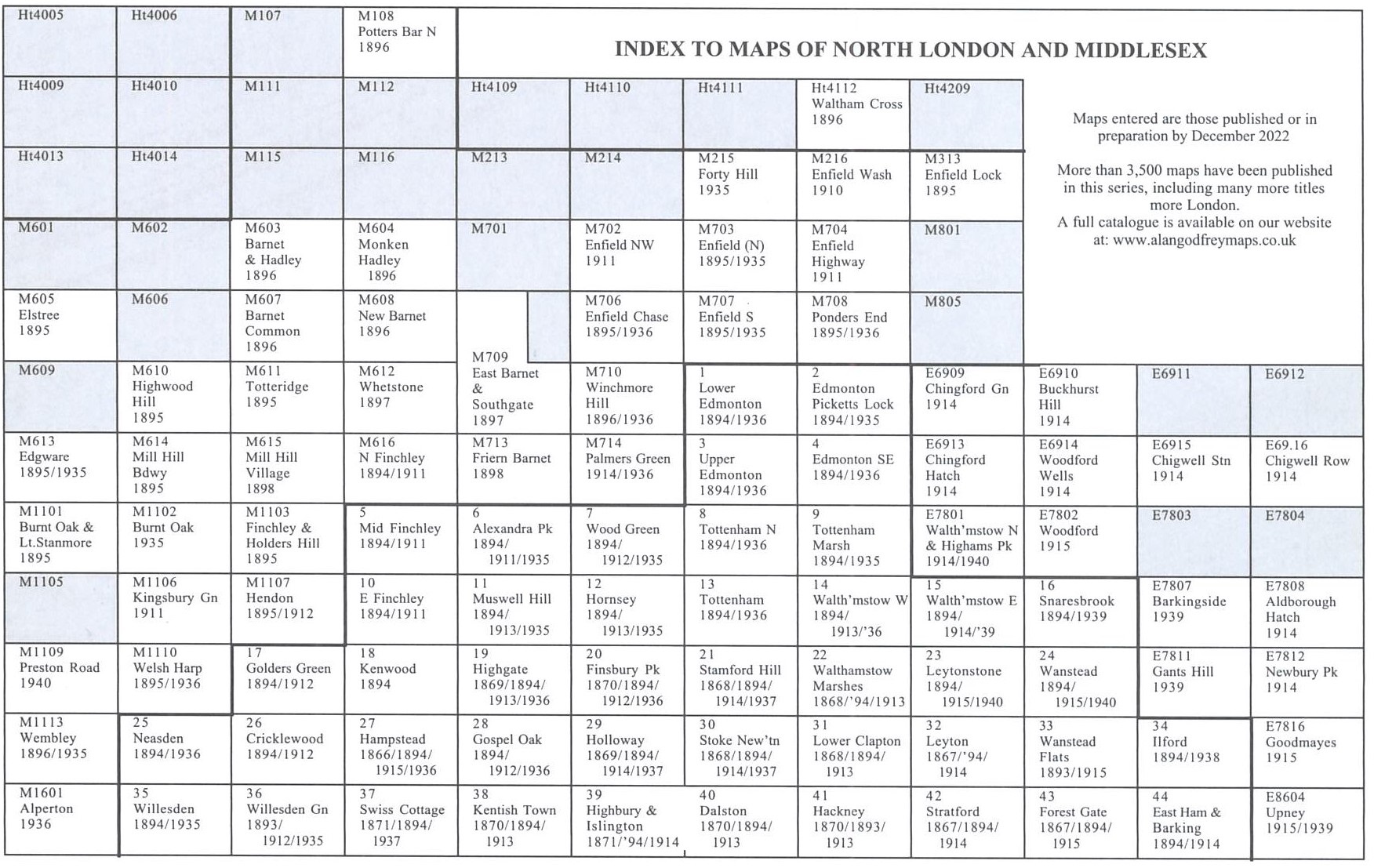
Here is an index map for The North London maps.
 Most maps in the Godfrey Edition are taken from the 25 inch to the mile map and reduced to about 15 inches to the mile.
For a full list of English maps, return to the England page
Most maps in the Godfrey Edition are taken from the 25 inch to the mile map and reduced to about 15 inches to the mile.
For a full list of English maps, return to the England page
You can order maps direct from our On-line Mapshop.
Alan Godfrey Maps, Prospect Business Park, Leadgate, Consett, DH8 7PW. Tel 01207 583388
The Godfrey Edition / sales@alangodfreymaps.co.uk / 26 January 2023