
 Here are the details of maps for Holloway:

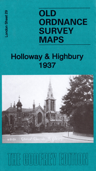
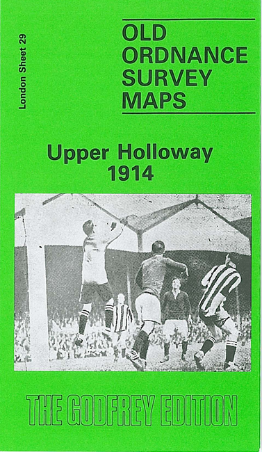
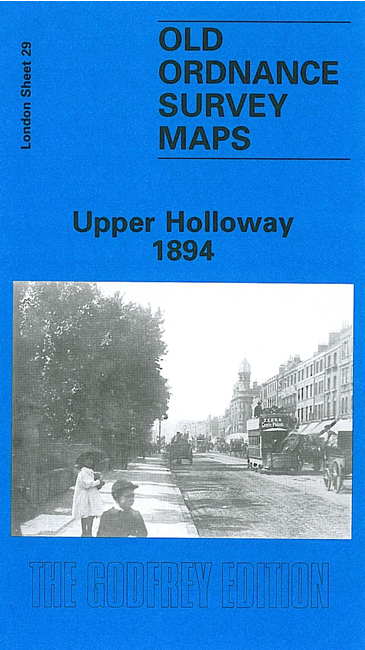
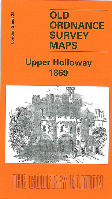
We have published four versions of this map, showing how the area developed across the years.
The maps each cover the same area, stretching from Holloway Prison eastward to Green Lanes and Highbury New Park, and from Finsbury Park station southward to Aberdeen Park and Holloway station. The GNR main line runs north-south through the map, with many sidings, and part of the Canonbury Branch; Finsbury Park and Holloway stations are included, and the 1914 map has Drayton Park station. Railway information is detailed, with tracks, signal posts, air shafts etc. West of the railway is much of Holloway, including Holloway Road, the prison (left blank), Seven Sisters Road, Hornsey Road, St Mary's Workhouse Schools, West London Union Workhouse. East of the railway is part of Highbury around Highbury House and Highbury Park, while north of this is a detached part of Hornsey, South Hornsey, incl Brownswood Park; the 1869 map has part of the New River here. Gillespie Road and Arsenal football ground are on the later maps.
Each map includes a specially written introduction to the history of the area.
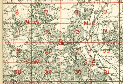
The map links up with London Sheets 20 Finsbury Park to the north, 28 Gospel Oak to the west, 30 Stoke Newington to the east, 39 Highbury to the south.
 Follow this link for a complete list of our London maps .
You can order maps direct from our On-line Mapshop. For other information and prices, and other areas, go to The Index Page.
Maps in the Godfrey Edition are taken from the 25 inch to the mile map and reduced to about 15 inches to the mile. For a full list of maps for England, return to the England page.
Alan Godfrey Maps, Prospect Business Park, Leadgate, Consett, Co Durham, DH8 7PW / sales@alangodfreymaps.co.uk / 6 September 2019