We have published more than 2,400 maps in our series of Old Ordnance Survey Map reprints, including a group in Kent. The maps are highly detailed. They are taken from the OS 1:2,500 (or 25 inch) maps and reduced to about 15 inches to the mile. Each covers an area of a mile and a half by a mile. They show streets with individual houses, tram tracks, railway tracks and even signals, factories, wharves and such details as fountains and water troughs. They will provide hours of fascination for historians and genealogists. The maps are neatly folded and each includes a specially written introduction to the area. Maps can be purchased on our On-line Mapshop where further information about titles is given. Or visit The Index Page for a full list to the series and details of Prices.
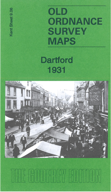
Here are the details of maps for Dartford:
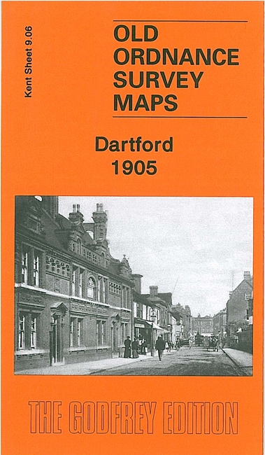
This detailed map covers the centre of Dartford with coverage extending southward to Oakfield Lane and the northern tip of Wilmington parish.
Features include West Hill, Spital Street, High Street in detail with individual buildings shown; Acacia Hall, Livingstone Cottage Hospital, Trinity church, Workhouse, River Darent, Masonic Hall, pumping station, The Dene, Shepherd's Lane area, Brickhill Woods, Heathclose House (at western edge of map), gravel pits, Sessions House, cattle market etc. On the reverse we include a list of private residents from a 1905 directory.
Follow this link for a complete list of our Kent Series maps.
You can order maps direct from our On-line Mapshop. For other information and prices, and other areas, go to The Index Page.
Maps in the Godfrey Edition are taken from the 25 inch to the mile map and reduced to about 15 inches to the mile. For a full list of maps for Kent, return to the South East page
The Godfrey Edition / godfreyedition@btinternet.com / 10 Jan 2010