
 Here are the details of maps for Toxteth & Liverpool (South):


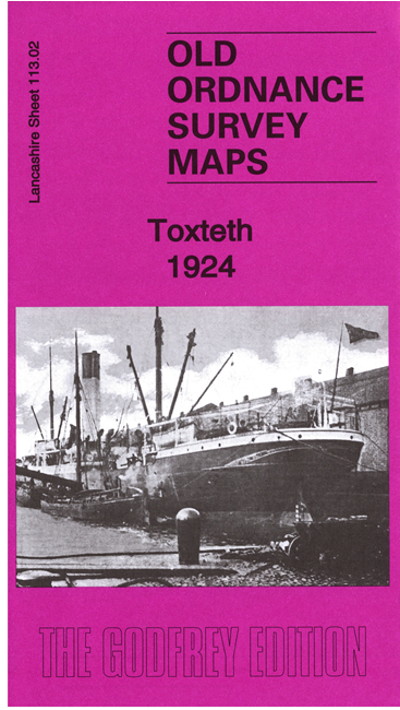
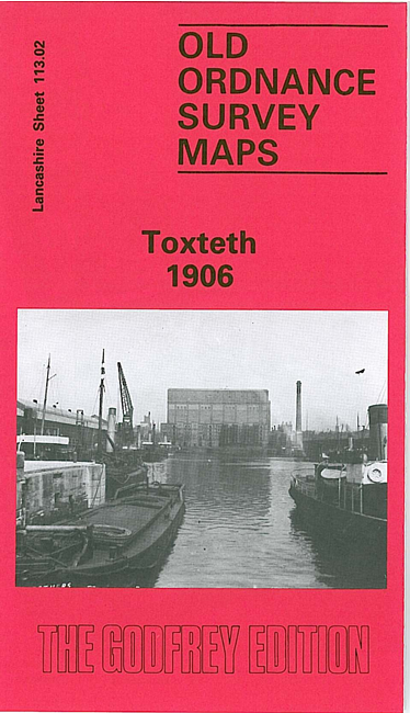
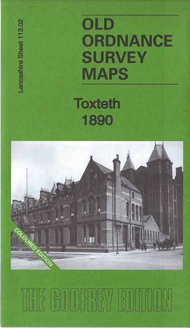
We have published three versions of this map, showing how the area developed across the years. The 1890 version is in full colour, taken from the beautiful 1st Edition OS handcoloured map.
The maps cover a busy area of south Liverpool, largely comprising the western half of Toxteth. Each is double-sided for maximum coverage. Coverage of the main map stretches from the docks eastward to Maud Street and Park Hill Road, and from Parliament Street southward to Beresford Road. The many features include Coburg Dock, Brunswick Dock, Toxteth Dock, part of Harrington Dock, Overhead Railway with several stations, Brunswick Goods station, South Docks Goods station, Brunswick Docks goods station, engine sheds and many sidings etc, tramways, countless streets of terraced houses, City Hospital, section of Cheshire Lines Railway, public baths, South End Mills, schools and chapels, Royal Southern Hospital, Mersey Brewery and bottling stores, etc. On the reverse we include adjacent sheet 113.06, extending coverage southward to include Herculaneum Dock, Park Hill Hospital, Petroleum Stores and Dingle Bank.
This map links up with sheet 106.14 Central Liverpool to the north, 113.03 Liverpool Princes Pk to the east.