Old Ordnance Survey Maps of County Londonderry


  • These highly detailed maps normally cover an area of about one and a half miles by one mile. Each map includes an introduction. They are available through our On-line Mapshop

  • Here are the details of maps for Coleraine:

  • Co Londonderry Sheet 7.03 Coleraine (North) 1904 - published 2019; intro by John Llewelyn. ISBN.978-1-78721-257-2
  • Co Londonderry Sheet 7.07 Coleraine (South) 1904 - published 2015; intro by John Llewelyn. ISBN.978-1-84784-931-1

    We have published two maps for Coleraine.

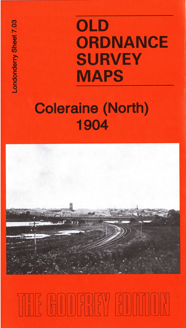
    The northern map covers the northern outskirts of the town, including the railway station.

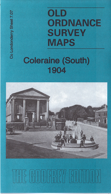
    The southern map covers most of the town centre, with coverage extending southward to Ratheane Cottage. Features include town centre with individual buildings neatly shown, Coleraine Bridge and River Bann, St John's RC church, Fair Hill, Killowen Distillery, Clothworkers Arms Hotel, Weaving Factory, Town Hall and Diamond, Workhouse, fever hospital, St Malachy's School, St Patrick's church, New Market, etc.


  • Follow this link for a complete list of our Co Londonderry maps.
  • You can order maps direct from our On-line Mapshop. For other information and prices, and other areas, go to The Index Page.
  • Maps in the Godfrey Edition are taken from the 25 inch to the mile map and reduced to about 15 inches to the mile. For a full list of maps for Ireland, return to the Ireland page.
    The Godfrey Edition / sales@alangodfreymaps.co.uk / 26 July 2019