 Here are the details of maps for Leadgate:

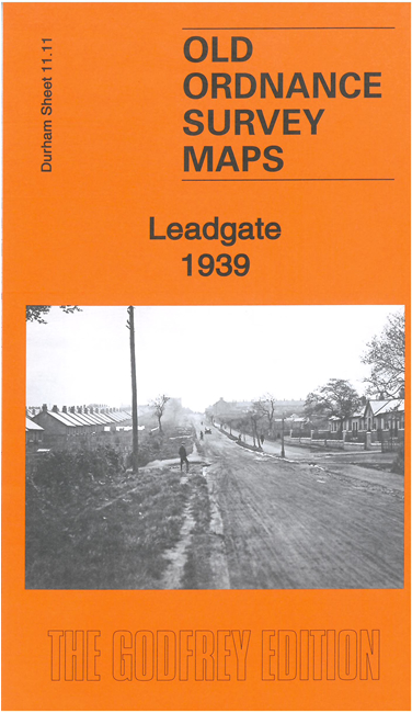
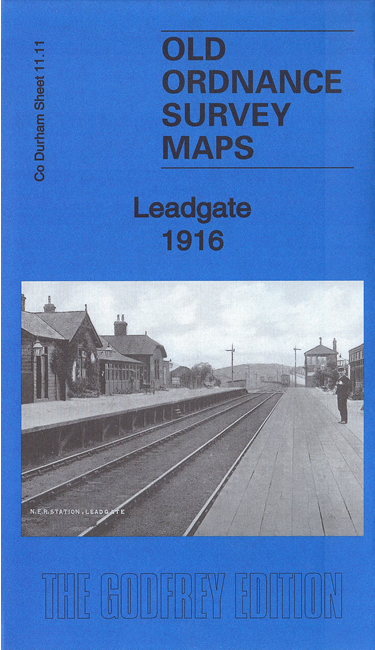
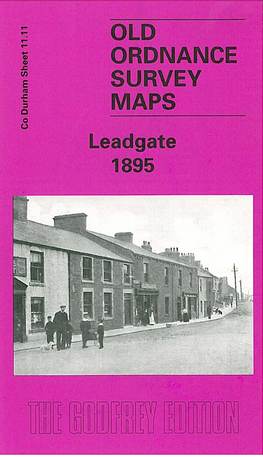
We have published three versions of this map, showing how the area changed across the years.
The maps cover Leadgate, where we are based. This is just outside Consett, and developed when the Derwent Iron Works developed its great iron works there. The map covers virtually the whole of Leadgate and coverage stretches east to Redwell Hills, the Eden Colliery and the Catholic church, and north to Bradley Cottages. The NER Annfield Plain Branch runs through the map and features include Carrhouse goods station (passenger trains did not serve the town until 1896), St Ives church, Bradley Shops, Leadgate Hospital, Pont House, old ironstone shafts, coke ovens, and stretches of the NER Medomsley Branch, NER South Medomsley Branch, Iveston Railway.
The map links up with Sheets 11.10 Blackhill & Shotley Bridge to the west.