
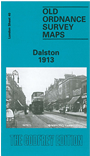
 Here are the details of maps for Dalston & Kingsland:
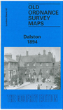

We have published three versions of this map, showing how the area developed across the years. The maps each cover the same area, stretching from Essex Road eastward to London Fields, and from Shacklewell Lane southward to De Beauvoir Crescent. The maps therefore cover a varied and very busy area, comprising De Beauvoir Town, Kingsland and Balls Pond at the west, Dalston and west Hackney to the east. The North London Railway forms a T-shape across the map, including Dalston Junction and Haggerston stations, while on the later maps the GER line runs down the eastern side, including London Fields and Hackney Downs stations. Kingsland Road and Kingsland High Street runs north-south through the centre of the map. Other features include De Beauvoir Square, Kingsland Basin, Bricklayers Almshouses, Dyers Almshouses, Balls Pond Road, Mildmay Compound, German Hospital, Militia Barracks, and countless streets of housing.
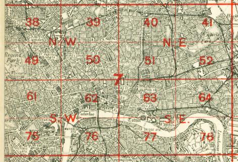
The map links up with London Sheets 30 Stoke Newington to the north, 39 Highbury to the west, 41 Hackney to the east, 51 Shoreditch to the south.
 Follow this link for a complete list of our London maps .