
 Here are the details of the map for the north Bloomsbury area:

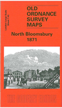
This highly detailed map at a 'Yard to the Mile' scale covers an area of north Bloomsbury, with coverage stretching from Gordon Street eastward to the Foundling Hospital, and from Euston Square southward to Guilford Street. Features on the map include Burton Crescent, Brunswick Square, the Foundling Hospital (showing interior layout), St Peter's church Sidmouth Street, Regent Square, Presbyterian Chapel, disused Bloomsbury and St George the Martyr cemeteries, Tavistock Square, Gordon Square, Woburn Square, St Pancras church. On the reverse we includestreet directory entries for Bernard Street, Brunswick Square, Burton Crescent, Burton Street, Gordon Place, Tavistock Square, Tavistock Place, Torrington Square, Woburn Place.
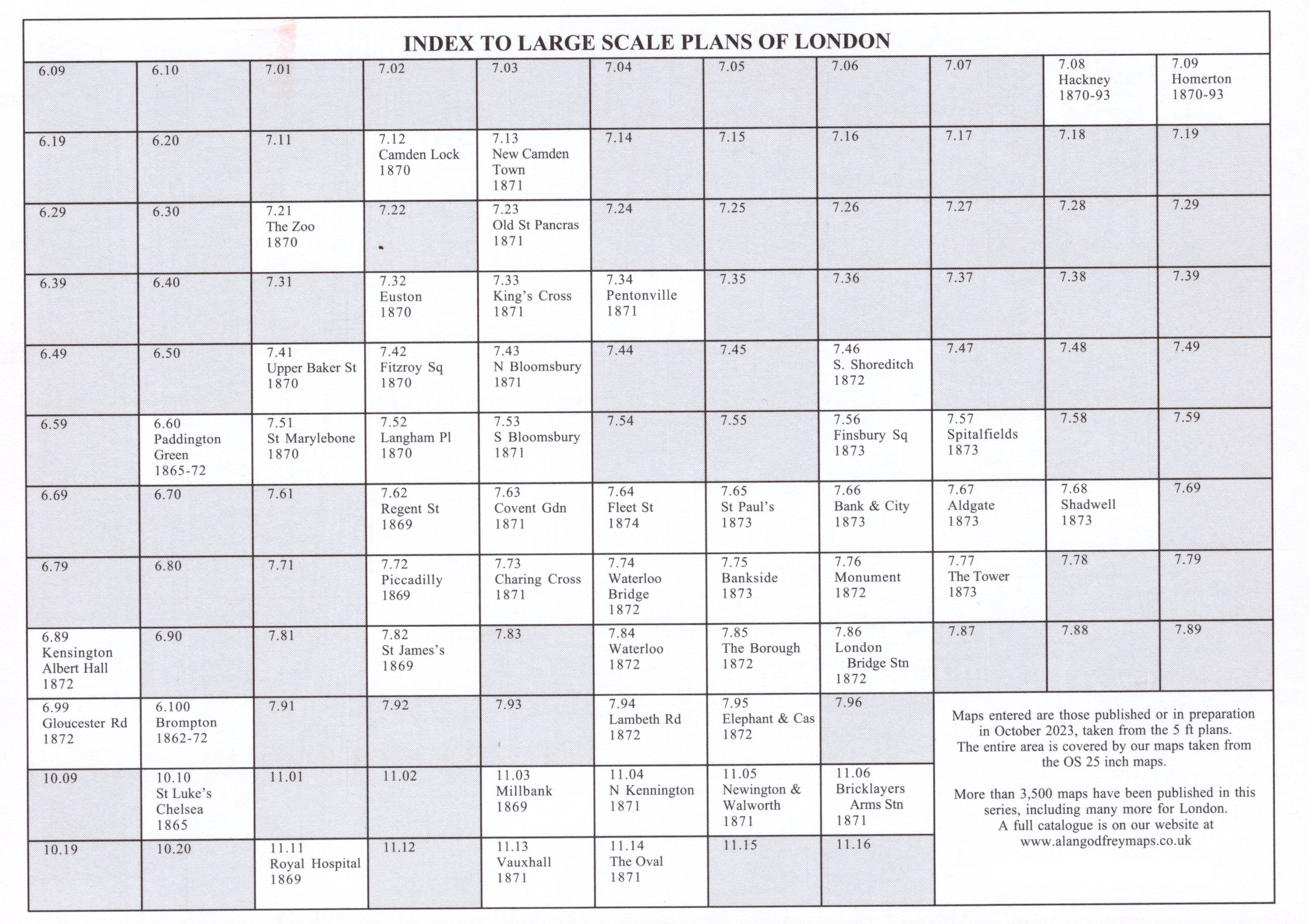
The map links up with Sheets 7.33 Kings Cross to the north, 7.42 Fitzroy Square to the west, 7.53 South Bloomsbury to the south.