
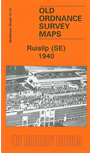
 Here are the details of maps for Ruislip (SE):

This very detailed map covers the SE part of Ruilsip and parts of Harrow and Northolt. Coverage stretches from Bridgwater Road eastward to Carlyon Avenue, and from Shaldon Drive southward to Walnut Way.
Features include LNER and GWR railways with South Ruilsip & Northolt Junction station, west part of Northolt Park racecourse, Francis Organ Works, schools and streets of housing, much of it from the 1920s and 1930s. On the reverse we include a 1929 railway timetable for the London to High Wycombe line.
The map links up with Middlesex Sheets 10.10 Rayners Lane to the north, 10.13 Ruislip Gardens to the west, 10.15 South Harrow to the east, 15.02 Northolt to the south.
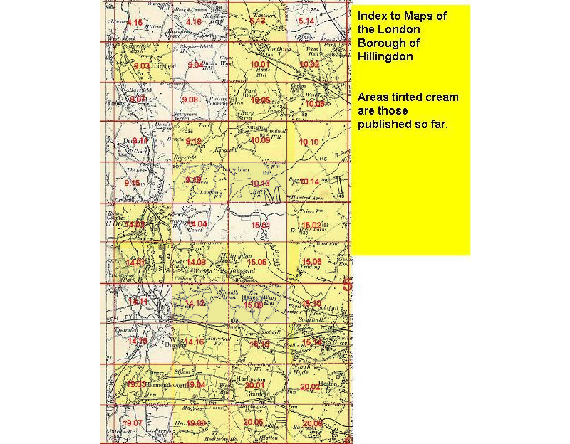 Follow this link for a list of our maps for the London Borough of Hillingdon, or here for a complete list of our London maps .