
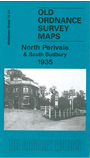
 Here are the details of maps for northPerivale

This detailed map covers the northern part of Perivale, with coverage stretching from Brabsden Green and Thames Avenue eastward to Thurlby Road, and from Whitton Drive southward to Perimeade Road.
Features include a stretch of the Piccadilly line, Grand Union Canal, wallpaper factory, other factories and warehouses in Perivale, sports grounds, Rockware Glas Works, Horsenden Hill, One Tree Hill. On the reverese we includea selection of street directory entries, incl Ashness Gardens, Bridgewater Road, Danethorpe Road, Norton Road, Scarle Road.
The map links up with Middlesex Sheets 10.16 Sudbury to the north, 15.03 N Greenford to the west, 16.01 Alperton to the east, and London 45 Perivale to the south.
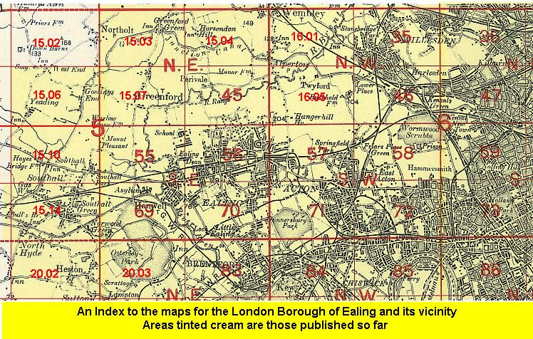 Follow this link for a list of our maps for the London Borough of Ealing, or here for a complete list of our London maps .