
 Here are the details of maps for Greenford:

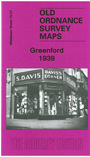
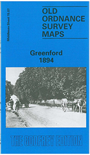
We have published two versions of this map, showing how the area changed across the years. Coverage extends from Holy Cross church southward to Beechmount Avenue, and from Westbury Avenue eastward to Greatdown Road. In 1894 this was still a rural village but by 1939 it was largely built up apart from Perivale Park and Ravenor Park. On the reverse of the 1894 version we include the eastern half of Sheet 15.06, covering the Grand Junction Canal with its brickfield dock branches. On the reverse of the 1939 version we include extracts from a contenporary directory, completing the entry begun on the North Greenford map.
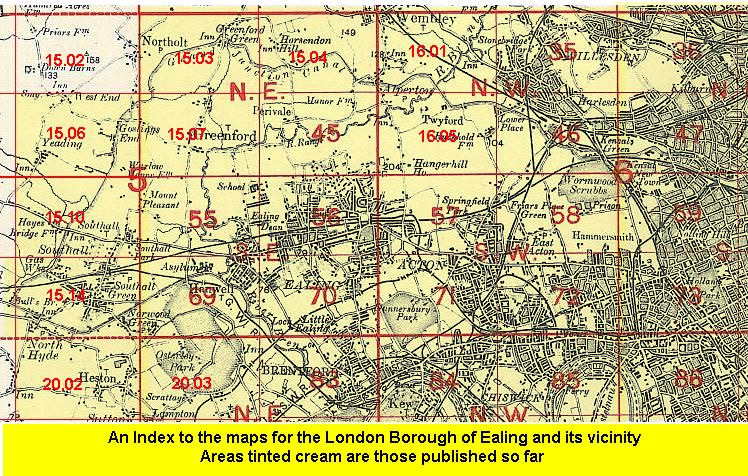
The map links up with Middlesex Sheets 15.03 North Greenford to the north, 15.06 Yeading to the west, 15.04 North Perivale to the east, and London Sheets 45 Perivale to the east and 55 Hanwell Village to the south
 Follow this link for a list of our maps for the London Borough of Ealing, or here for a complete list of our London maps .