
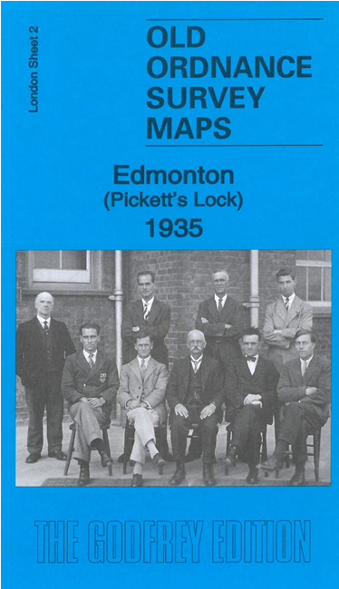
 Here are the details of maps for Edmonton NE:

We have published two versions of this map, showing how the area changed across the years.
The maps cover the NE part of Edmonton, including Marsh Side and Pickett's Lock. Coverage stretches from the The Crescent, near the centre of Lower Edmonton, eastward to the River Lea and Chingford Marsh.
Features include stretches of the GER railway and the River Lea Navigation, with Pickett's Lock. Streets include Bounces Road, Hertford Road (with tramway), Tramway Avenue, part of Town Road, Grosvenor Road.
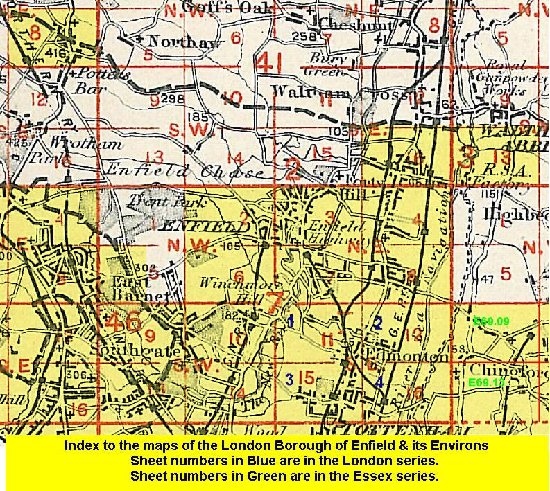
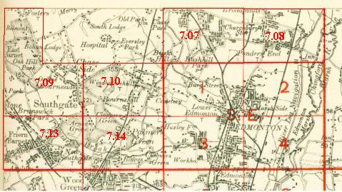
An index map showing the areas covered by this and adjacent maps is available here. The map links up with Middlesex Sheet 7.08 Ponders End to the north and Essex Sheet 69.09 Chingford Green to the east; also with London Sheets 1 Lower Edmonton to the west and 4 Edmonton SE to the south.
Follow this link for a complete list of our London maps
 Follow this link for a list of our maps for the London Borough of Enfield, or here for a complete list of our London maps .