 Here are the details of maps for Great Barr:

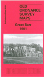
This detailed map covers part of Great Barr, including Great Barr Hall, Great Barr Park. The area was largely rural at the time, but coverage stretches from Great Barr Hall southward to the Scott Arms Hotel, and from Queslett Farm westward to Wilderness Lane.
Features include Red House and grounds, Highfield House, Fairyfield, Sundial Farm, Barrhill House, Holly Wood. On the reverse we include a directory of Great Barr in 1913.
The map links up with Staffordshire sheet 68.03 Tame Bridge to the west, 68.08 Hamstead to the south.