 Here are the details of maps for Cradley Heath:

We have published three versions of this detailed map, showing how the area changed across the years. The maps cover Old Hill and the northern part of Cradley Heath. They include a portion of detached Worcestershire (sheet 4.08) around Dudley Wood. Coverage stretches from Whitehall Road eastward to Waterfall Lane, and from Saltwells Road and Primrose Bridge southward to Grainger's Lane.
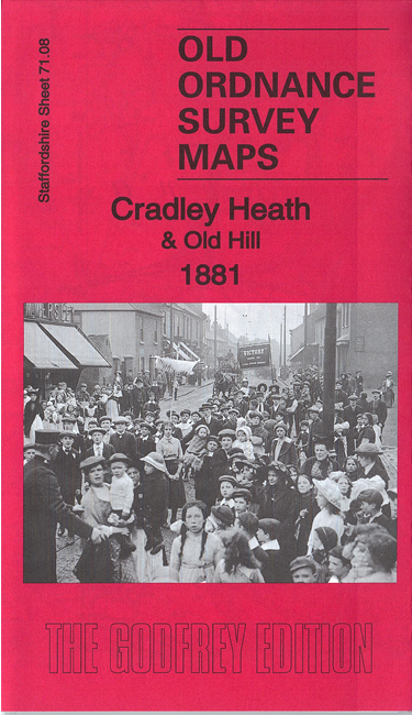
Features (on the 1881 version) include Cradley Heath town centre with High Street, St Luke's church, Foxoak Colliery, Saltwells Colliery, Plant's Green, Crown Works, chapels, Reddall Hill, Bearmore Colliery, Riddings Colliery, Butterfly Colliery, Ashtree Colliery, Oldhill Colliery, Fly Colliery, Old Hill town centre, Cherry Orchard, stretches of Great Western Railway (Netherton & Halesowen Branch), Tiger Works, Waterfall Lane Colliery, Birmingham Canal, Hadenhill Colliery, Eagle Colliery, Scotwell Colliery, several railways and inclines, and much more.
The map links up with Staffordshire sheets 71.04 Netherton to the north, 71.07 Brierley Hill East to the west, 72.05 Rowley Regis to the east, and Worcestershire sheet 4.12 Cradley South to the south.