 Here are the details of maps for Whickham & Swalwell:
We have published three versions of this map, showing how the area changed across the years. The maps cover both Whickham and Swalwell, and extend further west to include Axwell Park and Damhead Wood.
Features on the map include Whickham Hall, St Mary's Church, Whickham House, Whickhambanks Colliery, Northumberland Paper Mills, Keelmans Bridge, Swalwell Colliery, Swalwell Steel Works, Derwent Bridge and River Derwent, Bates Houses, Home Farm, Swalwell station and NER railway, Garesfield & Chopwell Railway, etc.
The map links up with Tyneside Sheets 26 Scotswood & Derwenthaugh to the north, and 22 Dunston to the east.
Further information:
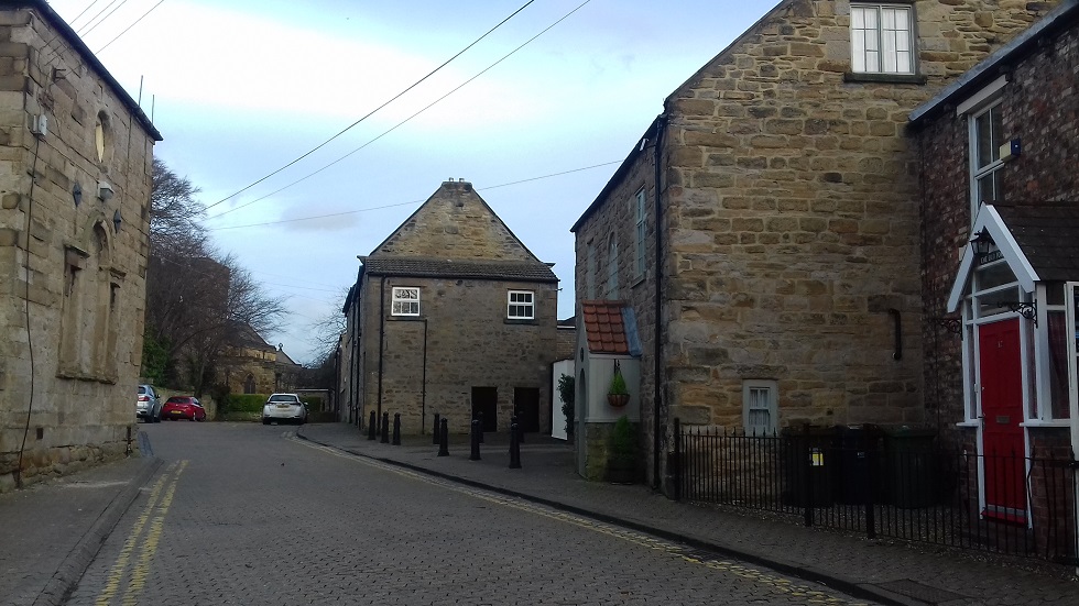
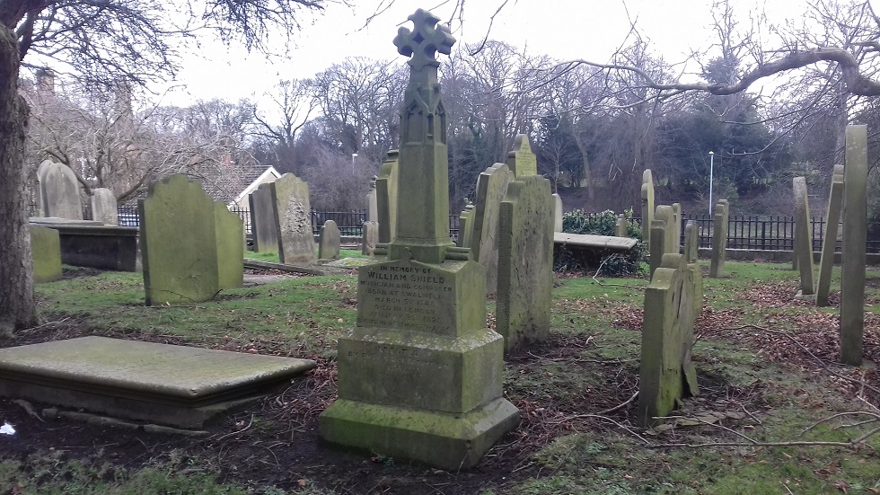
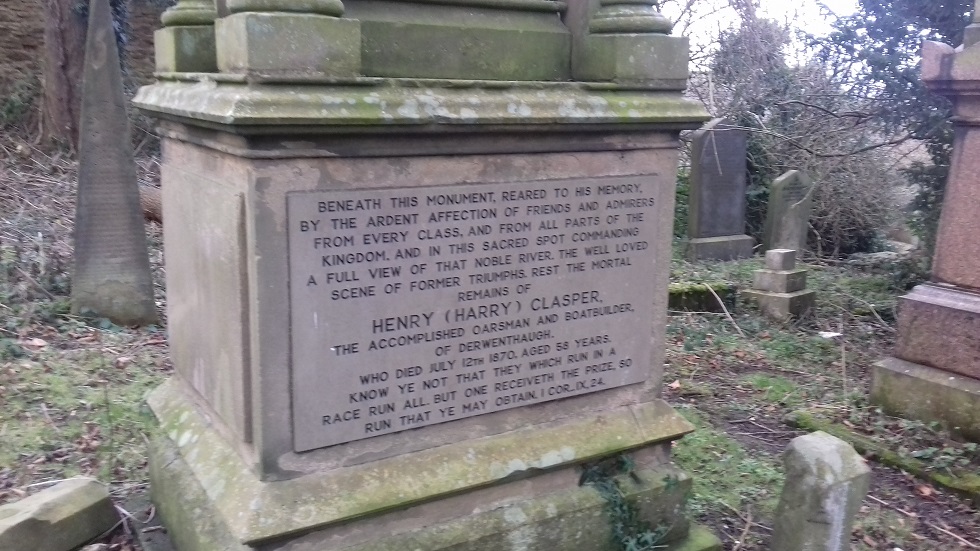
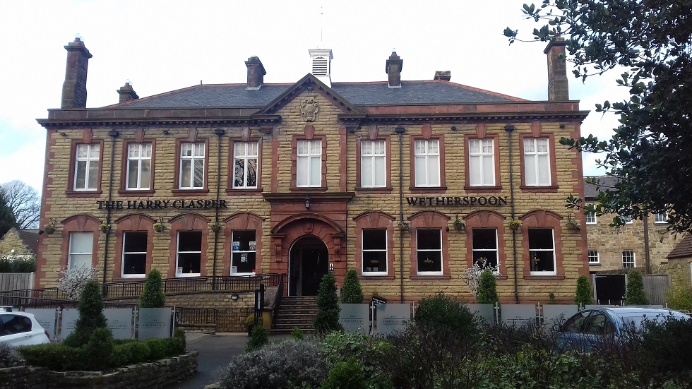
Whickham is a large urban village with a fine medieval church, parts of which date back to the 12th century; the composer William Shield was baptised here and there is a memorial to him in the graveyard. This is now at the heart of a conservation area but Whickham parish also included Swalwell, which developed as a major industrial centre in the early 18th centre, around Crowley's ironworks. There were also two collieries and in the 20th century the Derwenthaugh Cokeworks was opened further south. Across the River Derwent we are in Blaydon, where Axwell House was built for Sir Thomas Clavering by James Paine. Our three maps show how the area changed across the years, especially with industrial developments in Swalwell and along the Derwent valley.
 .
.

....."The first recorded mention of Whickham is in the Boldon Book, compiled for the Bishop of Durham in 1183, and the most distinguished building is, as so often, the parish church. St Mary’s is one of six Grade I listed buildings in Gateshead and the citation notes the 12th century nave, 13th century aisles and 14th century porch, the latter with a sundial of 1651. There was a restoration by Dobson in 1819 and in the 1860s there was further work, including the building of a second north aisle, by Anthony Salvin (1799-1881), the Durham-born architect noted for his restoration work on medieval buildings, including Durham Cathedral. Though set back from the road and with only a short tower, the church is on a slightly raised site and the opening of Church Green ensures that it retains a benevolent place, watching across the village...."
Maps in the Godfrey Edition are taken from the 25 inch to the mile map and reduced to about 15 inches to the mile. For a full list of maps for the North East, return to the North East page.
The Godfrey Edition / sales@alangodfreymaps.co.uk / 13 March 2018