
 Here are the details of maps for Stourbridge (N):

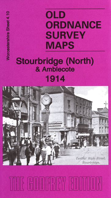
We have published two versions of this map, showing how the area developed across the years. The maps cover the northern part of Stourbridge, in Worcestershire, and also extend north to Coalbournbrook, and a stretch of Amblecote, which was in Staffordshire, sheet 71.10. Coverage extends from Wollaston Hall eastward to Amblecote Bank.
Features include GWR Oxford Worcester & Wolverhampton line but no stations, Stourbridge Town branch with Town station, Stourbridge town centre with Market Hall and St Thomas church, St John's church, Bedcote Mill, Bouchall area, Stambermill area, River Stour Works, etc.
The map links up with Worcestershire sheets 4.09 Wollaston to the west, 4.11 Lye to the east and 4.14 Stourbridge South to the south; and Staffordshire sheet 71.06 Brierley Hill W to the north.