Old Ordnance Survey Maps of Bradford

  • These detailed maps normally cover an area of about one and a half miles by one mile. Each map includes an introduction.
  • They are available through our On-line Mapshop

  • Here are the details of maps for Menston:

  • Yorkshire Sheet 186.12 Menston 1906 - published 2024; intro by Alan Godfrey. ISBN.978-1-78721-749-2

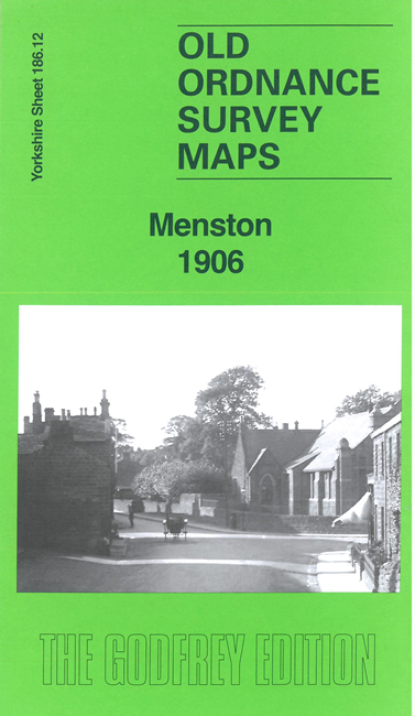
    This detailed map of Menston is double-sided for maximum coverage.

    The main map covers Menston village where features include railway with station, northern part of County Lunatic Asylum, Menston Old Hall, St John's church, Stocks Hill, Menston Junction, Rombaldsmoor Bleach Works, chapels, schools etc

    On the reverse we include a section of adjacent sheet 187.09 extending coverage eastward to include Menston Hall, Fox & Hounds Inn, Hare & Hounds Inn, Menston Mill, electric railway to asylum, Gill Mill, Middle Mill, High Gill Mill, Derrydiddle Mill, etc. We include a specially written introduction to the history of the area.


  • Follow this link for a complete list of our Bradford area maps; or here for the whole Yorkshire series. For other information and prices, and other areas, go to The Index Page.
  • Most maps in the Godfrey Edition are taken from the 25 inch to the mile map and reduced to about 15 inches to the mile.
    For a full list of maps for England, return to the England page.
    Alan Godfrey Maps, Prospect Business Park, Leadgate, Consett, Co Durham, DH8 7PW / sales@alangodfreymaps.co.uk / 4 April 2024