Yorkshire Sheet 187.12 Bramhope 1906 - published 2022; intro by Alan Godfrey. ISBN.978-1-78721-604-4 
This detailed map is double-sided for maximum coverage.
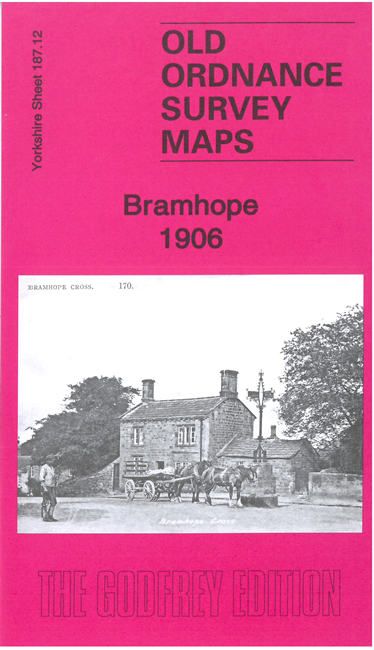
The main map covers of the village centre of Bramhope. Features include Bramhope Hall, Manor House, Dyneley Hall, tunnel, village centre,
Staircase House, Creskeld Hall, West Breary, railway with Arthington Junction, etc
On the reverse we include part of adjacent sheet 187.11 extending coverage westward to include Pool Bank Quarries, Caley Crags, quarry railway and incline,
Dyneley Arms Inn etc.
Follow this link for a complete list of our Leeds area maps; or here for the
whole Yorkshire series. For other information and prices, and other areas, go to
The Index Page.
Most maps in the Godfrey Edition are taken from the 25 inch to the mile map and reduced to about 15 inches to the mile.
For a full list of maps for England, return to the England page.
Alan Godfrey Maps, Prospect Business Park, Leadgate, Consett, Co Durham, DH8 7PW / sales@alangodfreymaps.co.uk / 13 December 2022

 Here are the details of maps for Bramhope: