 Here are the details of maps for Leeds (North) and Chapeltown:
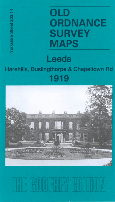
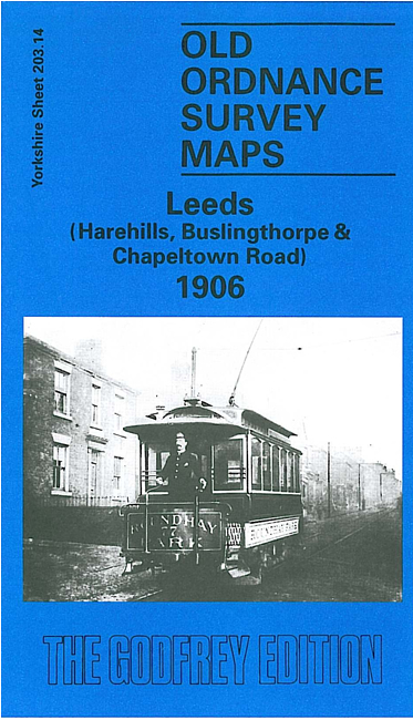
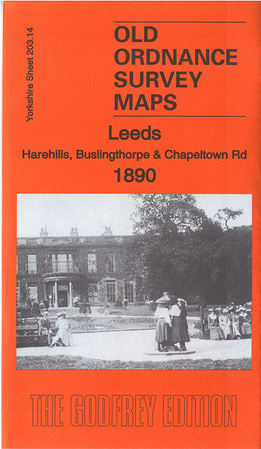
We have published three versions of this map, showing how the area changed across the years.
The maps cover a busy part of northern Leeds. Coverage stretches from Woodhouse Street eastward to Harehills Road and northward to Potternewton Lane. Various areas are covered, including Harehills, New Leeds, Potternewton Park, Woodhouse Carr, Buslingthorpe and Scott Hall.
Features (on the 1890 map) include Woodhouse Carr area, Buslingthorpe area, Buslingthorpe Tannery, Hill Top Leather Works, Carr Mills, Springwell Leather Works, Ridge Mill, Perseverance Mill, Woodhouse Chemical Works, Meanwood Road Leather Works, Tiplin Hall, windmill, Scott Hall Quarries, Scott Hall Farm, Potternewton Hall, Potternewton House, St Martin's church, Union Chapel, Chapeltown Tramway Depot, Newton Green Hall, Harehills Grove, Harehills Mill Farm, New Leeds area, Gledhow Mount, Gledhow Grove, tramways, Gledhow Wood, Harehills House, etc.
The map links up with Sheets 203.10 Chapel Allerton to the north, 203.13 Headingley to the west, and 218.02 Central Leeds to the south.