Old Ordnance Survey Maps of Yorkshire

  • These detailed maps normally cover an area of about one and a half miles by one mile. Each map includes an introduction.
  • They are available through our On-line Mapshop

  • Here are the details of maps for Templeborough:

  • Yorkshire 289.14a Templeborough & Tinsley 1901 - published 2020, intro by Melvyn Jones. ISBN.978-1-78721-340-1
  • Yorkshire 289.14b Templeborough & Tinsley 1921 - published 1985, intro by Trevor Lodge. ISBN.978-0-85054-081-9

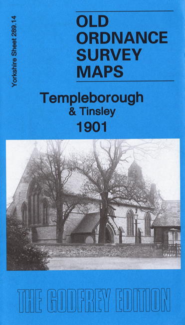
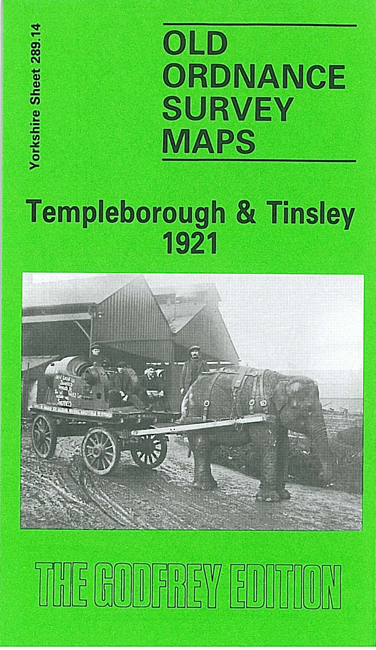
    We have published two versions of this map, showing how the area changed across the years. The maps cover the Templeborough and Tinsley area SW of Rotherham and north of Sheffield.

    Features include Templeborough Rolling Mills running along the top of the 1921 map. The MR North Midland line runs down the east side, with numerous sidings. The main settlement is Tinsley, where features (1921 map) include St Lawrence's church, Standard Steel Works, Simplex Motor Works, Town Street. A small portion of the Sheffield & Tinsley Canal is shown.

    Each map includes a specially written introduction to the history of the area.

    The map links up with Yorkshire Sheets 289.10 Masbrough to the north, 289.13 Wincobank to the west and 289.15 Rotherham South to the east.


  • You can order maps direct from our On-line Mapshop. For other information and prices, and other areas, go to The Index Page.
  • Maps in the Godfrey Edition are taken from the 25 inch to the mile map and reduced to about 15 inches to the mile. Follow this link for a complete list of our Rotherham maps; or here for the whole Yorkshire series.
    Alan Godfrey Maps, Prospect Business Park, Leadgate, Consett, Co Durham, DH8 7PW / sales@alangodfreymaps.co.uk / 16 July 2020