Old Ordnance Survey Maps of Herefordshire
We have a range of detailed maps for Herefordshire towns and we also cover the whole county at the Inch to the Mile scale.
All maps are available from our On-line Mapshop.
Herefordshire County Council was formed in 1889. There was a reorganisation in 1974, when Herefordshire became part of Hereford & Worcester. In
1998, however, it regained its independence as a county. It is now a unitary authority.
See This Page for a summary of the county's local government history.
 These are the maps we publish for Herefordshire:
12.15 Leominster 1927 published 2002; intro by Barrie Trinder
17.07 Kington 1927 published 2003; intro by Barrie Trinder
21.06 Bromyard 1902 published 2008; intro by Derrick Pratt
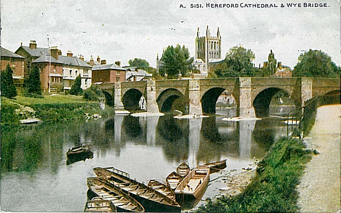
33.16a Hereford 1885 published 2011; intro by Malcolm Nixon  33.16b Hereford 1903 published 2002; intro by Barrie Trinder
41.04 Ledbury 1926 published 2003; intro by Barrie Trinder
51.04 Ross-on-Wye (N) 1927 published 2014; intro by Barrie Trinder
51.08 Ross-on-Wye (S) 1927 published 2014; intro by Barrie Trinder
33.16b Hereford 1903 published 2002; intro by Barrie Trinder
41.04 Ledbury 1926 published 2003; intro by Barrie Trinder
51.04 Ross-on-Wye (N) 1927 published 2014; intro by Barrie Trinder
51.08 Ross-on-Wye (S) 1927 published 2014; intro by Barrie Trinder
We also cover the whole of Herefordshire in our Inch to the Mile series. The main titles for the county are:
181 Ludlow, Tenbury & District 1897 - published 2005; intro by Barrie Trinder. Includes a map of Woofferton
182 Wyre Forest, Droitwich & Kidderminster 1907 - published 2002; intro by John Boynton. Includes a map of Cleobury Mortimer
197 Hay on Wye & District 1908 - published 2006; intro by Barrie Trinder. Includes a map of Hay town centre
198 North Herefordshire 1898 - published 2008; intro by Derrick Pratt. Includes a map of Bodenham
214 The Black Mountains 1908 - published 2003; intro by Edward Parry. Includes a map of Talgarth
215 South Herefordshire 1908 - published 2007; intro by Malcolm Nixon. Includes a map of Kilpeck
 >Most maps in the Godfrey Edition are taken from the 25 inch to the mile map and reduced to about 15 inches to the mile.
For a full list of English maps, return to the England page
You can order maps direct from our On-line Mapshop.
This list shows all our maps for the area. We try to keep a full range in print but inevitably some titles fall out of print from time to time.
These are noted in our On-line Mapshop.
>Most maps in the Godfrey Edition are taken from the 25 inch to the mile map and reduced to about 15 inches to the mile.
For a full list of English maps, return to the England page
You can order maps direct from our On-line Mapshop.
This list shows all our maps for the area. We try to keep a full range in print but inevitably some titles fall out of print from time to time.
These are noted in our On-line Mapshop.
Alan Godfrey Maps, Prospect Business Park, Leadgate, Consett, DH8 7PW. Tel 01207 583388
The Godfrey Edition / sales@alangodfreymaps.co.uk / 20 January 2018
 These are the maps we publish for Herefordshire: