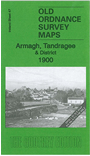
Inch to the Mile Maps of Ireland
These maps are taken from the famous OS "Inch to the Mile" Maps. Each provides an invaluable overview of a wide area, typically 18 miles across by 12 miles down. Each map has an introduction to the history of the area and most also include a more detailed map of a small town or village in the area.
 Inch to the Mile maps of Ireland:


 Most maps in the Godfrey Edition are taken from the 25 inch to the mile map and reduced to about 15 inches to the mile.
For a full list of Irish maps, return to
Most maps in the Godfrey Edition are taken from the 25 inch to the mile map and reduced to about 15 inches to the mile.
For a full list of Irish maps, return to 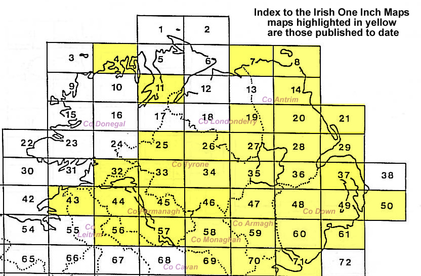