Old Ordnance Survey Maps of Leeds

  • These detailed maps normally cover an area of about one and a half miles by one mile. Each map includes an introduction.
  • They are available through our On-line Mapshop

  • Here are the details of maps for Seacroft:

  • Yorkshire Sheet 203.16 Seacroft 1906 - published 2022; intro by Martin Handley. ISBN.978-1-78721-605-1

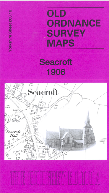
    This detailed map covers the village of Seacroft just NE of Leeds. Features include Seacroft Hall, St James Church, The Green, The Park, Mill Green, The Grange, Swarcliffe Farm, Penwell House, Laburnum Farm, Pigeon Cote Farm etc. The map is a reminder that Seacroft was once a country village.


  • The map links up with sheets 203.15 Oakwood to the west and 218.04 Cross Gates to the south
  • Follow this link for a complete list of our Leeds area maps; or here for the whole Yorkshire series. For other information and prices, and other areas, go to The Index Page.
  • Most maps in the Godfrey Edition are taken from the 25 inch to the mile map and reduced to about 15 inches to the mile.
    For a full list of maps for England, return to the England page.
    Alan Godfrey Maps, Prospect Business Park, Leadgate, Consett, Co Durham, DH8 7PW / sales@alangodfreymaps.co.uk / 7 February 2023