Old Ordnance Survey Maps of Leeds

  • These detailed maps normally cover an area of about one and a half miles by one mile. Each map includes an introduction.
  • They are available through our On-line Mapshop

  • Here are the details of maps for Oakwood and Gipton:

  • Yorkshire Sheet 203.15 Leeds (Oakwood & Gipton) 1906 - published 2023; intro by Martin Handley. ISBN.978-1-78721-628-0

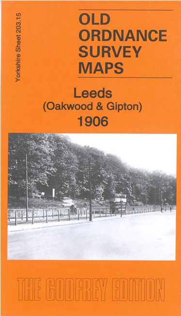
    This detailed map covers Oakwood and Gipton areas of NW Leeds. In 1906 the area was largely rural and features include Gipton Pit, Oakwood Lane Farm, Fearneville Farm, Gipton Farm, Gipton Wood, tramway, colliery railway, St Wilfrid's Mission Church, Bedford House, Fox Wood Farm, Low Gipton Farm, etc


  • The map links up with sheets 203.11 Roundhay Park to the north, 203.14 Harehills to the west, 203.16 Seacroft to the east,and 218.03 East Leeds to the south.
  • Follow this link for a complete list of our Leeds area maps; or here for the whole Yorkshire series. For other information and prices, and other areas, go to The Index Page.
  • Most maps in the Godfrey Edition are taken from the 25 inch to the mile map and reduced to about 15 inches to the mile.
    For a full list of maps for England, return to the England page.
    Alan Godfrey Maps, Prospect Business Park, Leadgate, Consett, Co Durham, DH8 7PW / sales@alangodfreymaps.co.uk / 7 February 2023