Old Ordnance Survey Maps of Yorkshire

  • These detailed maps normally cover an area of about one and a half miles by one mile. Each map includes an introduction.
  • They are available through our On-line Mapshop

  • Here are the details of maps for Thorpe on the Hill:

  • Yorkshire 233.06 Thorpe on the Hill & Ardsley Station 1906 - published 2024; intro by Martin Handley. ISBN.978-1-78721-734-8

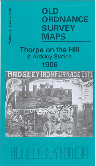
    This detailed map covers the hamlets of Thorpe on the Hill and The Fall.

    Features include West Yorkshire Ironworks, GNR railway with Ardsley station, railways and sidings, Fan pit, The Fall, St Gabriel's mission church, Bowling Hall, engine shed, Thorpe on the Hill, Thorpe House, Robin Hood Quarries, E & W Yorkshire Union Railway, brickworks, Lingwell Nook, Lingwell Gate etc.

    The map links up with Sheets 233.10 East Ardsley to the south.


  • For other information and prices, and other areas, go to The Index Page.
  • Maps in the Godfrey Edition are taken from the 25 inch to the mile map and reduced to about 15 inches to the mile. Follow this link for a complete list of our Wakefield maps; or here for the whole Leeds maps.
    Alan Godfrey Maps, Prospect Business Park, Leadgate, Consett, Co Durham, DH8 7PW / sales@alangodfreymaps.co.uk / 7 February 2024