Old Ordnance Survey Maps of Yorkshire

  • These detailed maps normally cover an area of about one and a half miles by one mile. Each map includes an introduction.
  • They are available through our On-line Mapshop

  • Here are the details of maps for East Ardsley:

  • Yorkshire 233.10 East Ardsley 1905 - published 2024; intro by Martin Handley. ISBN.978-1-78721-735-5

    This detailed map covers the village of East Ardsley with coverage extending to Lawns and Carr Gate.

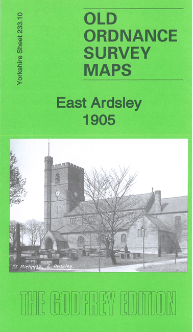
    Features include East Ardsley village with individual buildings neatly shown, St Michael's church, Old Hall, Woodhouse Hall, Lawns, Carr Gate, infectious diseases hospital, Grand Stand, Springfield House, Grand Stand Road etc

    The map links up with Sheets 233.06 Thorpe on the Hill to the north, 233.11 Lofthouse Gate to the east.


  • For other information and prices, and other areas, go to The Index Page.
  • Maps in the Godfrey Edition are taken from the 25 inch to the mile map and reduced to about 15 inches to the mile. Follow this link for a complete list of our Wakefield maps; or here for the whole Leeds maps.
    Alan Godfrey Maps, Prospect Business Park, Leadgate, Consett, Co Durham, DH8 7PW / sales@alangodfreymaps.co.uk / 7 February 2024